
A few days ago, a delegation led by Su Lijun, deputy director of the Institute of Mountain Hazards and Environment, Chinese Academy of Sciences and Ministry of Water Resources (the “Chengdu Institute of Mountain Hazards”), Ge Yonggang, head of the science and technology office, and Hu Kaiheng, deputy director, visited Huantian Wisdom to learn about the company’s operations, including satellite remote-sensing algorithms and production management. Lu Wang, general manager of Huantian Wisdom, Zhang Yan, executive deputy general manager, and heads of relevant departments took part in the technical exchange.
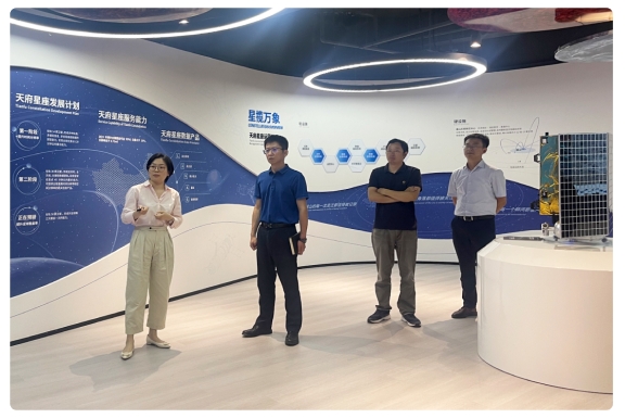
At the meeting, Lu Wang introduced the company’s development over the past three years and its future plans, and presented the data-acquisition capability of the Tianfu Constellation. Zhao Lingyuan, technical director, described how the Tianfu Constellation low-Earth-orbit remote-sensing system can raise data-acquisition efficiency under complex and changing terrain and weather, and explained in detail technical approaches for disaster prevention and mitigation, including emergency remote-sensing surveys of geological hazards and monitoring and assessment of disaster processes.
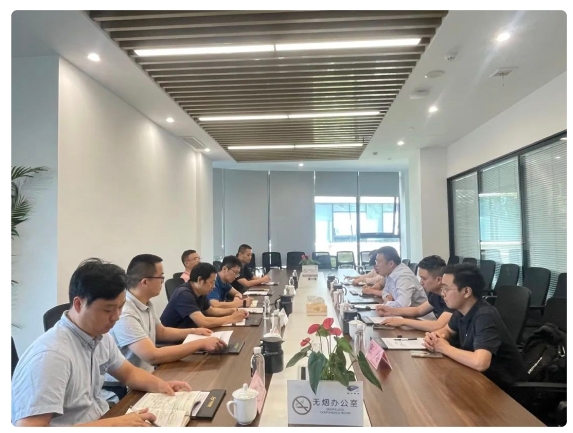
Su Lijun said that satellite remote-sensing technology has unmatched advantages in geological disaster reduction and relief, and will also become a key supporting technology in Sichuan for future disaster monitoring and loss assessment. The Chengdu Institute of Mountain Hazards has rich experience and strong capability in research on mountain hazards such as flash floods, barrier lakes, debris flows and landslides, and in research on mountain environments including hydrology, soil, ecological restoration and ecological barriers. It has accumulated extensive technical experience in using remote-sensing algorithms for disaster warning and risk assessment. Combined with Huantian Wisdom’s constellation and R&D strengths, the two sides can complement one another and strengthen cooperation in geological-hazard monitoring and warning, soil and water conservation, hydrology, urban waterlogging and mountain floods.