Home
News Commercial Terms Contact

Global Sight · Global Strategic Brand of Huantian Wisdom

Commercial satellite imagery for areas of interest worldwide

Optical and radar, archive and tasking

Global Sight supplies optical and radar satellite imagery to customers worldwide, with support for archive search and tasked collection.

Satellite resources

Optical and radar collection working together. 28 owned satellites and 300 alliance satellites are available, all of which may be tasked.

Ten low-Earth-orbit high-resolution optical satellites were launched in two missions in 2022. The first SAR satellite, Dongpo Eye DP-15, was launched in December 2025. After further launches in 2026, a 20-satellite coordinated observation network was in place from July 2026. The current public figures are 28 owned satellites and 300 alliance satellites, all of which may be tasked. The ground receiving station is equipped with a 12-metre antenna operating in the S and X bands.

View the Huantian Constellation

Main business

Main Business

Global Sight’s overseas offering is built around optical and radar imagery, with archive search and tasked collection

Prices are quoted by product and resolution, with archive and tasking listed separately. This site does not publish unit prices for imagery.

光Optical

The highest resolution offered for sale is 0.5 m; 0.3 m is not available. The standard four bands are blue, green, red and NIR. The sales list also includes 2 m archive, 0.75 m, stereo, video, nighttime lights, emergency and hyperspectral products.

Optical imagery

Quoted by resolution; unit prices are not published on this site

Learn about optical imagery
雷Radar

The public sales list is 15 m, 7 m and 2.5 m, with scene sizes of 100 × 100 km, 45 × 45 km and 25 × 25 km respectively. Radar can collect ground information through cloud cover and in day or night conditions.

Radar imagery

Three resolutions, quoted by product

Learn about radar imagery

存Archive & Tasking

Archive refers to data collected more than 60 days before the order date. Where archive already covers the target area, delivery is usually 2–5 days. Standard tasking is delivered in 15 days, with optical freshness of 3–7 days. Expedited collection can also be arranged.

Archive and tasking

Check the archive first, then task a collection

Learn about archive and tasking
Capabilities

Capability highlights

Optical up to 0.5 m
Radar 15 / 7 / 2.5 m
Combined revisit: 5.5 hours
Global coverage, with assessment of sensitive areas
28
owned
Plus 300 alliance satellites, all of which may be tasked
0.5
m
Highest optical resolution offered for sale
5.5
hours
Combined constellation revisit, not a tasking delivery time
Global
cover
Sensitive areas require prior assessment

The current public figures are 28 owned satellites and 300 alliance satellites, all of which may be tasked. The 5.5-hour figure is the constellation’s combined revisit (optical and radar together), not the delivery time for a single tasking order.

Honors

Resources and qualifications

Excerpts from public materials; see the dedicated pages for details

Networking, launches and publicly reported qualifications are set out on the resource pages. Domestic industry programmes and published news can also be reviewed there.

View honors and intellectual property

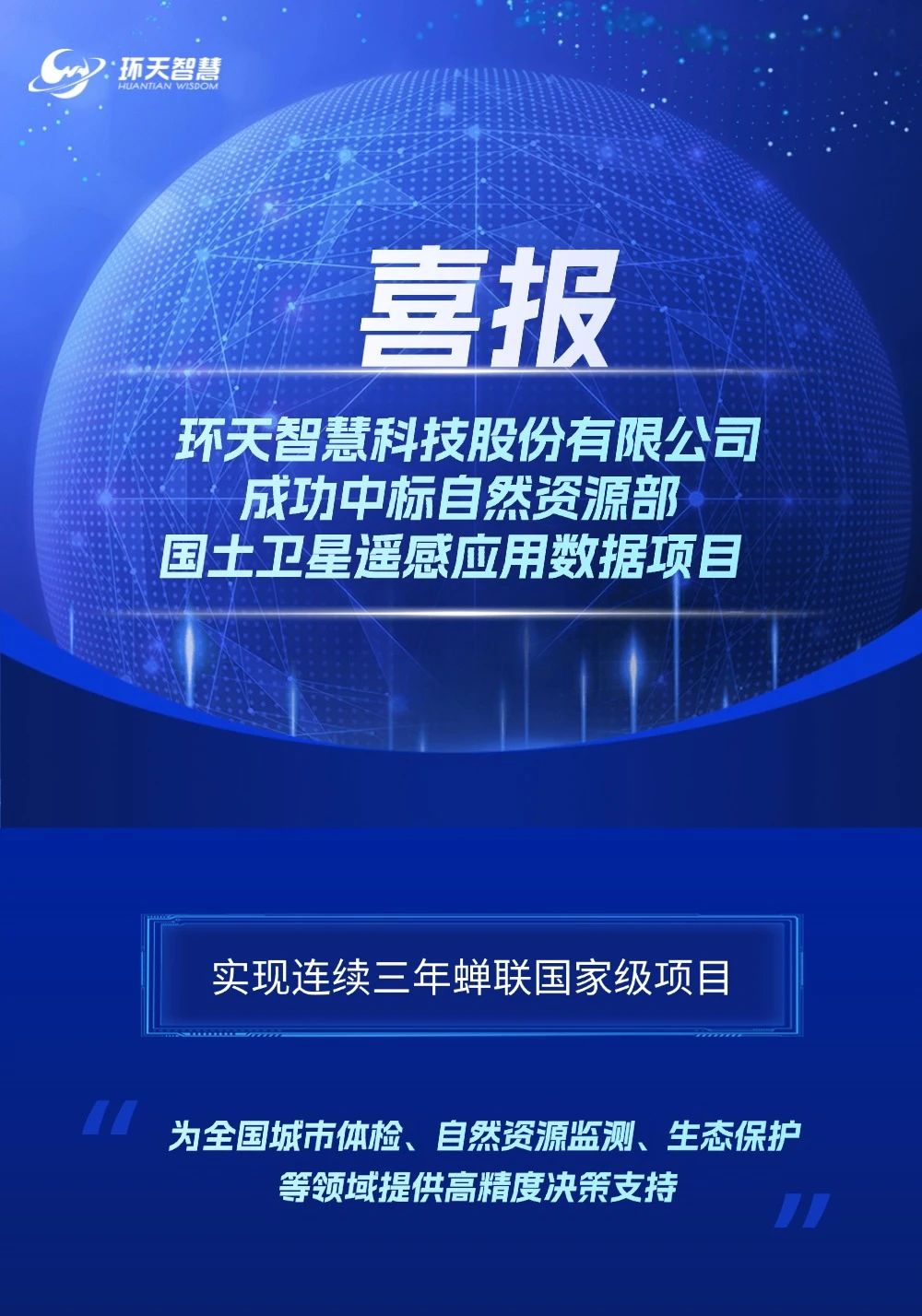
Honors displayed on the Huantian Wisdom website (source: public materials)
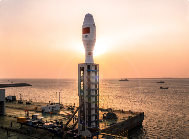
Successful launch of Dongpo-08 to Dongpo-10 from the Yellow Sea on 9 December 2022 (source: constellation programme materials)
Applications

Industry applications and domestic cases

AgricultureDigital agriculture

Domestic programmes cover farmland protection, crop monitoring and disaster observation. Matching optical or radar imagery can be obtained for an area of interest.

ForestryDigital forestry

Forest resources, pests and disease, fire prevention and carbon-sink monitoring. The cases and platforms reflect domestic operational practice.

ResourcesNatural resources

Remote-sensing monitoring of farmland conversion to non-agricultural use, land-use change, mining and geological hazards.

EnvironmentEcological environment

Monitoring of water, natural ecosystems, soil conditions and low-carbon environmental programmes.

DisasterDisaster monitoring

Multi-hazard early warning and post-event assessment. Emergency products are quoted per collection.

View programmes and typical cases

News

Published news

The items below are republished from public news sources, without additional commentary. The full list is in the news centre.

Go to the news centre

Need specifications and delivery terms for an area of interest?

Please send the extent, area, product type and time window to the mailbox of the Global Mapping & Imagery Overseas Division. We will check the archive on your behalf and reply with a supplyable option. This site does not publish unit prices for imagery. A formal quotation is issued after the area of interest has been confirmed.

Contact us