
ArchiveArchive
Archive refers to data already collected more than 60 days before the order date. Where archive already covers the target area, delivery is 2–5 days.
Specifications for sale, and the Huantian product overview
Global Sight supplies optical and radar satellite imagery to customers worldwide, with support for archive search and tasked collection. The specifications below are those confirmed for sale.
The highest optical resolution offered for sale is 0.5 m; 0.3 m is not available. Standard multispectral imagery is four-band: blue, green, red and NIR. The constellation’s combined revisit cycle is 5.5 hours; this is not the delivery time for a single tasking order.
This site does not claim a panchromatic band, and it does not claim pan-sharpening. The forms below appear on the sales list. Prices are quoted by product and resolution, with archive and tasking listed separately; the formal quotation prevails.
| Product | Notes |
|---|---|
| 2 m | Archive only; tasking is not offered as a separate item. |
| 0.75 m | On the sales list. |
| 0.5 m | On the sales list, and the highest optical resolution offered for sale. |
| Stereo | On the sales list. |
| Video | Priced per scene. |
| Nighttime lights | Available on enquiry. The unit of measure follows the commercial terms confirmed by both parties; it is not listed separately on this site for now. |
| Emergency | Quoted per collection. |
| Hyperspectral | On the sales list. |
Optical freshness for standard tasking is 3–7 days. This refers to the age of the imagery at acquisition, not the time taken for physical delivery. See Processing and delivery.
The public sales list for radar (SAR) is three resolutions: 15 m, 7 m and 2.5 m. This site does not list 1 m or 0.75 m radar products. Radar can collect ground information through cloud cover and in day or night conditions.
| Resolution | Listed scene size |
|---|---|
| 15 m | 100 × 100 km |
| 7 m | 45 × 45 km |
| 2.5 m | 25 × 25 km |
The default delivery level is Level 1. Additional processing to L2–L5 is charged at USD 10 per square kilometre. This site does not itself define the technical meaning of each processing level; the product description confirmed by both parties prevails.
Archive refers to data already collected more than 60 days before the order date. Where archive already covers the target area, delivery is 2–5 days.
Standard delivery is 15 days. Optical freshness is 3–7 days.
Expedited collection is completed within 24 hours and delivered within 60 hours. The delivery email is sent after the hard drive has left the country. The expedite fee is an additional USD 3,000.
This site does not provide sample downloads for a target area, and it does not publish a public catalogue or issue test accounts. Please send your area of interest and we will check coverage on your behalf. Minimum order quantities, payment and licensing are set out in the Commercial Terms.
The following is taken from the public “Satellite Remote-Sensing Big Data” section, for reference. It is not Global Sight’s list of specifications for sale
Satellites of the Huantian Constellation provide sub-metre high-resolution remote-sensing imagery for digital agriculture, digital forestry, natural-resource supervision, ecological monitoring and natural-disaster monitoring, among other uses. The current public figures are 28 owned satellites and 300 alliance satellites, all of which may be tasked. See the Commercial Satellite Alliance.
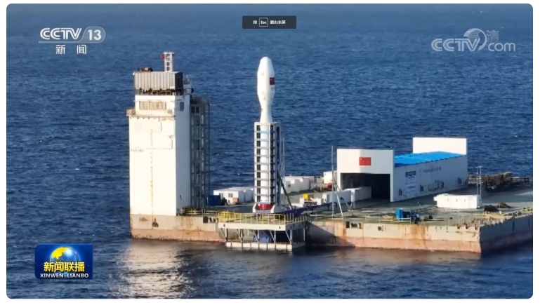
0.5 m high-resolution satellite imagery is a high-definition image of the Earth’s surface acquired from satellite. The satellite uses an optical sensor and is characterised by stable attitude and high sensitivity. With a spatial resolution of 0.5 m, it offers high resolution, wide-area coverage and timely collection, and can be used in urban planning, agricultural monitoring, environmental protection, disaster warning and related fields.
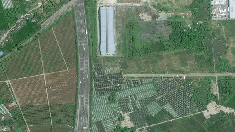
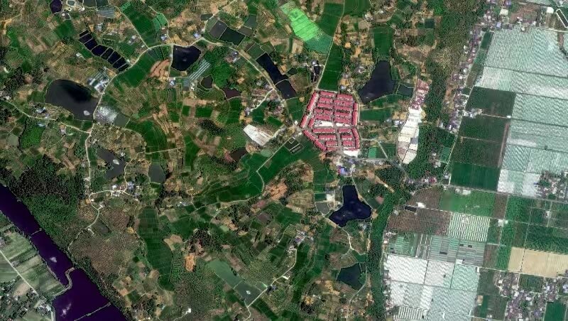
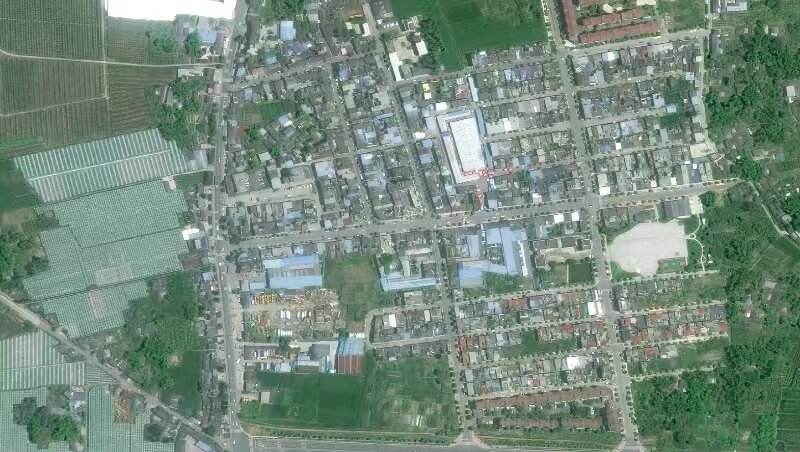
Sub-metre high-resolution satellite imagery is acquired with an optical sensor at a spatial resolution of 0.75 m–1 m. It captures fine detail, can clearly show buildings, roads, vegetation and other surface features, and supports rapid acquisition and distribution of image data.
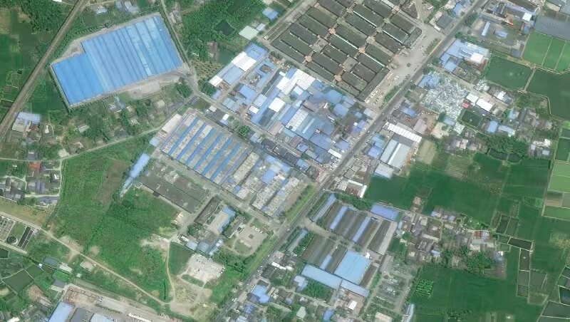
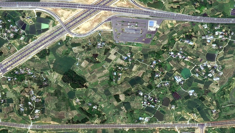
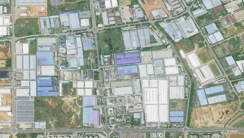
The 0.75 m–1 m range above is the public description of sub-metre optical products. The upper limit for Global Sight’s overseas optical offering remains 0.5 m, and 0.3 m is not available.
Hyperspectral data provide continuous spectral information across many bands. With a spatial resolution of 0.75 m and a spectral resolution of 2.5 nanometres, the data capture more detailed spectral signatures of ground objects, supporting the identification of vegetation types, soil composition and other differences, and serving classification, environmental monitoring and resource surveys.
Stereo three-dimensional satellite data have a spatial resolution of 0.75 m. Stereo imaging is used to obtain three-dimensional information on surface objects, with applications in urban planning, land-use planning, environmental monitoring and resource surveys.
Video satellite remote-sensing imagery uses optical sensors and video capture, at spatial resolutions of 0.92 m and 1.13 m. It can record dynamic change on the Earth’s surface at high resolution, supporting urban planning, environmental protection, agricultural management and natural-resource surveys.
Nighttime-lights remote-sensing imagery, at spatial resolutions of 0.92 m and 1.13 m, can capture faint light sources on the Earth’s surface at night, supporting urban planning, environmental monitoring, energy management and disaster assessment. The unit of measure for Global Sight’s overseas nighttime-lights products remains subject to commercial confirmation.
According to public materials: in the event of a major disaster or similar situation, constellation satellites can be used for emergency collection. The satellites complete the collection in the shortest possible time (imaging on the pass, without adjusting for weather, slewing or other factors that may cause cloud cover, resolution or other indicators to differ from the standard product). Given the satellite swath, each emergency collection covers about 270 square kilometres, and is limited to 0.75 m. Global Sight’s overseas emergency products remain quoted per collection.