
On 17 April,
the CCTV News programme Morning News
focused on Meishan Tianfu New Area,
under the headline of ten satellites drawing a “digital portrait” of the Tianfu Granary,
and reported on how the new area’s satellite industry is supporting agricultural development.
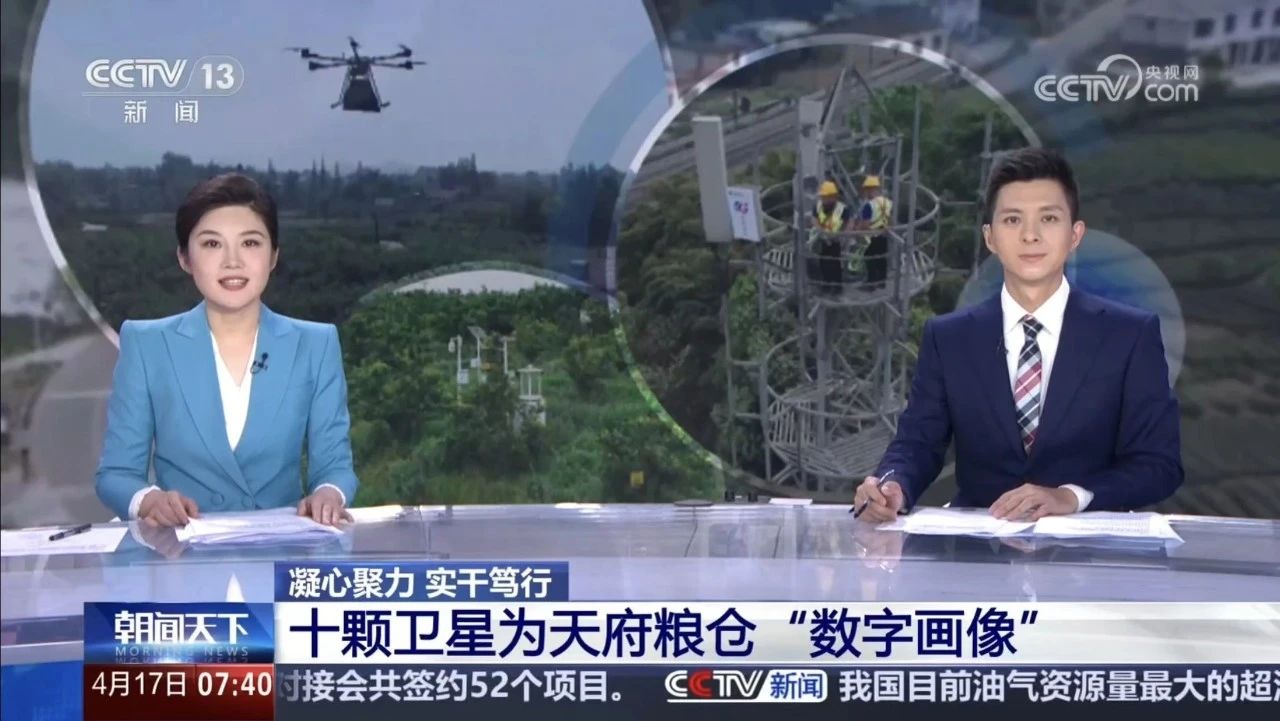
With concentrated effort and solid work, infrastructure construction in rural China is entering a new round of major upgrading. While hardened roads to natural villages (groups) are being rolled out in full, large-scale construction of rural digital infrastructure has quietly begun.
By the end of last year, more than 26,000 administrative villages in Sichuan had all been covered by 5G, and rural broadband users in the province had reached 16.44 million, the highest number in the country. On an ever more solid rural digital foundation, a space–air–ground agricultural and rural service system is taking shape, from space to low altitude to the ground. What development paths will this open for the countryside? Here is a report from journalists in the field.
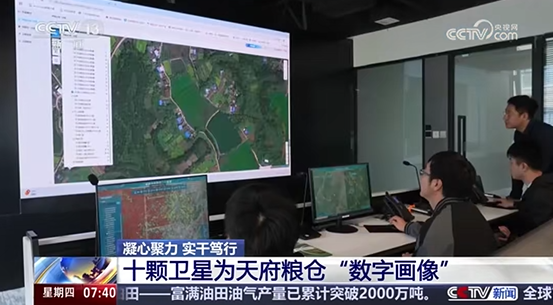
In Meishan, Sichuan, reporters saw that on the remote-sensing monitoring wall of a local satellite company, the growth of 80 million mu of farmland was clearly visible under satellite monitoring. In space, 535 kilometres above the ground, ten satellites scan these fields every month. Through high-frequency remote-sensing image analysis of the growth cycles of rice, wheat and other crops, and combined with AI algorithms, they draw a “digital portrait” of crop growth.
The satellites have a resolution of 0.5 m and can identify very fine field plots. Our vegetation indices can indirectly reflect, for example, chlorophyll content and vegetation area, which can reflect the growth of vegetation. If growth is poor, we can push the information to individuals, who can then make planting more optimal.
When a warning of poor crop growth was issued, Wang Zibin, a local large grain grower, received the message on his phone at once. He went immediately to the plot that had been flagged to check the growth of the wheat, and found that yellow rust had already appeared in the field and, if not handled in time, would spread to other plots.
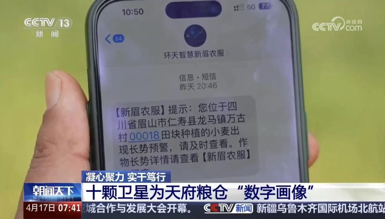
Wang Zibin, a large grain grower in Wangu Village, Longma Town,
mentioned that they farm more than 5,000 mu in all. “This remote-sensing technology is very good. It sends us information regularly, and our staff come in time for unified prevention and control.” According to estimates, a yield-forecast model generated from satellite remote-sensing data combined with meteorological data, and used to optimise agronomic practices such as dense planting of maize, can raise yields per unit area by 5%–10%.