
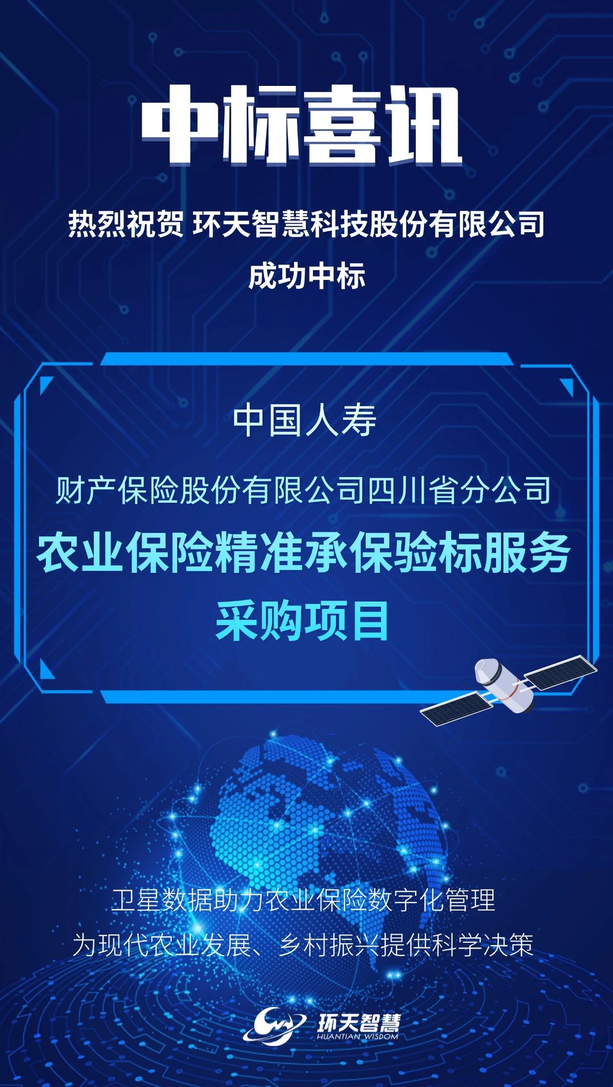
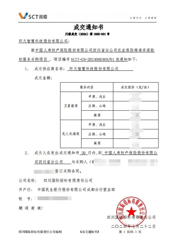
A few days ago, in a consultation for the procurement of precise underwriting and inspection services for agricultural insurance by the Sichuan branch of China Life Property & Casualty Insurance Company Limited, Huantian Wisdom successfully won the contract on the strength of its professional service capability and brand standing. The service term is two years. The service area covers five cities in the province.
This successful bid is a further breakthrough after agricultural-insurance cooperation projects signed with Yibin, Bazhong, Zigong and the Wenjiang District of Chengdu. It is a milestone result for Huantian Wisdom and will open a new chapter for the company in agricultural insurance.
What key roles can
satellite remote-sensing technology play in agricultural insurance services?
01
Empowerment before underwriting
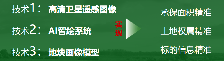
Building a precise picture of the relationship between people and land, and of farm households.
02
Empowerment during the policy period
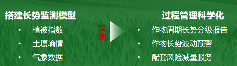
Growth monitoring, process supervision and precise risk reduction.
03
Empowerment of claims

Reshaping the claims process, building a loss-assessment model, and paying farmers who have genuinely suffered losses.
The successful promotion and use of remote-sensing technology in agricultural insurance services can achieve precision in insured area, land tenure and subject-matter information. For administrative departments, it greatly raises the efficiency with which fiscal funds are used and helps finance and agriculture departments strengthen the management of policy agricultural insurance. For growers, the technology simplifies insurance and claims procedures and, by moving from average payouts to a precise determination of the area and degree of loss, allows farmers who have suffered losses to receive accurate compensation. For insurance companies, remote sensing can raise the granularity of underwriting and claims data across the board, establish plot information that corresponds one-to-one with growers, truly achieve underwriting and claims “according to the map”, reconstruct the underwriting and claims process for crop insurance, and lay a data foundation for a rapid channel for loss assessment and payment.
Next, Huantian Wisdom will take this awarded project as an opportunity to do the full process of remote-sensing data collection, analysis and loss assessment for agricultural insurance well, and to contribute its scientific and technological strength to the development of modern agriculture, rural revitalisation, the protection of farmers’ incomes and the digital management of agricultural insurance.