
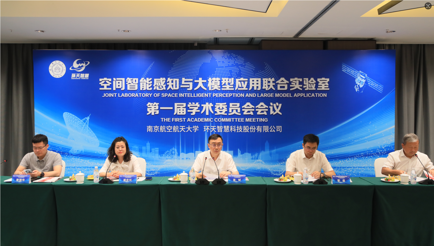
On 3 August, the first academic committee of the Joint Laboratory of Spatial Intelligent Sensing and Large-Model Applications (the “Laboratory”), jointly prepared by Nanjing University of Aeronautics and Astronautics and Huantian Wisdom, was formally established in Meishan and held its first meeting. The meeting was chaired by Zou Yunkun, chairman of Huantian Wisdom, who introduced the committee members, the Laboratory’s future work plan and near-term research priorities.
The meeting announced that Jiang Bin, president and professor at Nanjing University of Aeronautics and Astronautics, would serve as chair of the committee; Wu Qihui, vice president and professor at NUAA, as vice chair; and eight well-known experts and scholars in aerospace and related fields in China as members, including Chang Jin, academician of the Chinese Academy of Sciences, vice president of the CAS and researcher; Sun Xiangdong, academician of the Chinese Academy of Engineering and major general of Unit 96901; Li Qingquan, secretary of the Party committee and professor at Shenzhen University; and Zhou Chenghu, academician of the CAS and researcher at the Institute of Geographic Sciences and Natural Resources Research, CAS. Zhang Zuxun, academician of the Chinese Academy of Engineering and professor at Wuhan University, would serve as adviser, and Wang Bo, associate professor at NUAA, as secretary.
The meeting set out the Laboratory’s future work plan: first, around microsatellite technology, to carry out experimental verification and capacity building for space-borne high-precision carbon-source monitoring; second, around spatial spectrum-sensing technology, to carry out, in three stages, on-orbit experimental verification and capacity building for satellite-based BeiDou interference-source positioning; third, around high-standard farmland monitoring for the Tianfu Granary, to carry out, in three stages, capacity building for satellite remote-sensing applications that combine space-based and ground-based methods; and fourth, around software and hardware results from the above tasks, to produce a series of software copyrights and invention patents, establish an open fund, build a stable technical team for the Laboratory, and, against the relevant requirements, apply for a Sichuan provincial engineering technology centre and key laboratory in satellite applications. The Laboratory will also continue to train high-quality aerospace innovation talent, work to build an innovative research platform that brings together basic theory and engineering development, and strive to establish a national key laboratory within five years, raising Meishan’s technical strength in satellite remote sensing.
The meeting also focused on two major R&D topics the Laboratory will undertake next. The first is to develop the first high-precision carbon-source monitoring satellite, with high temporal resolution, high spatial resolution and highly sensitive detection of carbon dioxide concentration. It is expected to yield major scientific findings on the mechanisms of carbon sources and sinks in farmland ecosystems and their spatiotemporal evolution. Once developed, it will publish daily-scale, high-precision maps of carbon dioxide emissions and diffusion patterns for urban industrial parks. The second is to develop a BeiDou interference-source positioning payload, using radio-frequency positioning, to be carried on low-Earth-orbit satellites of the Tianfu Constellation, to monitor and locate ground-based BeiDou interference sources from orbit. The expected technical results would address the limited coverage, high cost and poor timeliness of existing ground- and air-based monitoring methods.