Xingkan Vision
Geospatial information APP (domestic business)
Xingkan Vision APP
This page describes a domestic business and ecosystem. It is not Global Sight’s overseas sales catalogue.
Taken from the public “Xingkan Vision application download” page
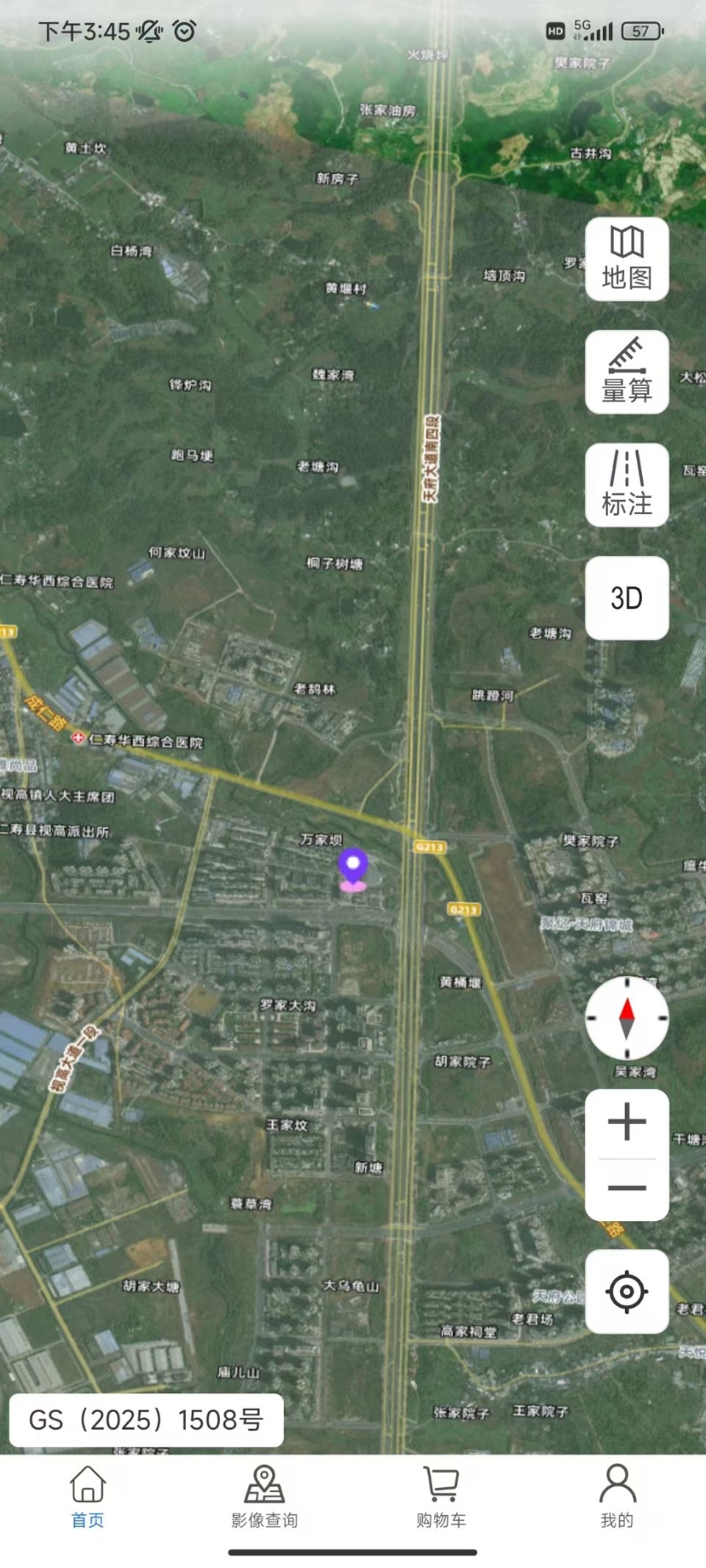
Xingkan Vision is a professional geospatial information APP that combines 3D Earth browsing, intelligent query of multi-source remote-sensing imagery, and one-stop ordering.
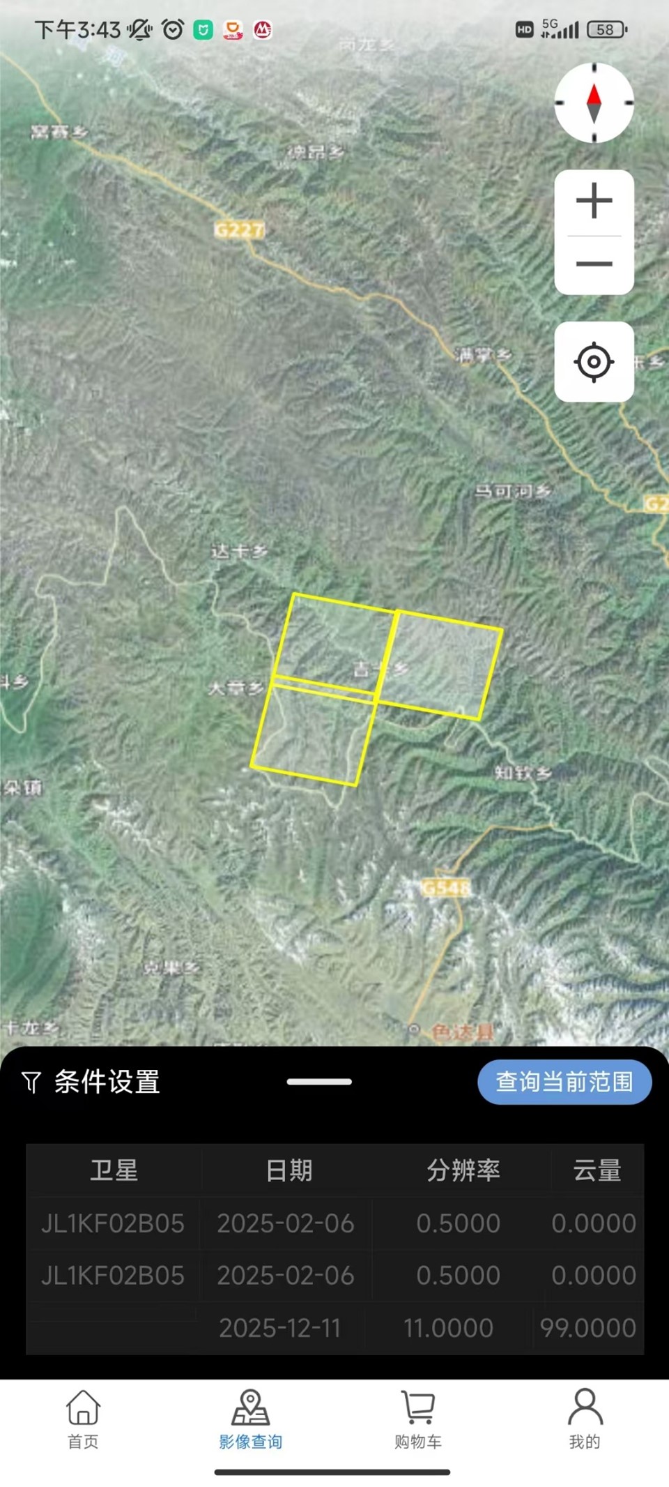
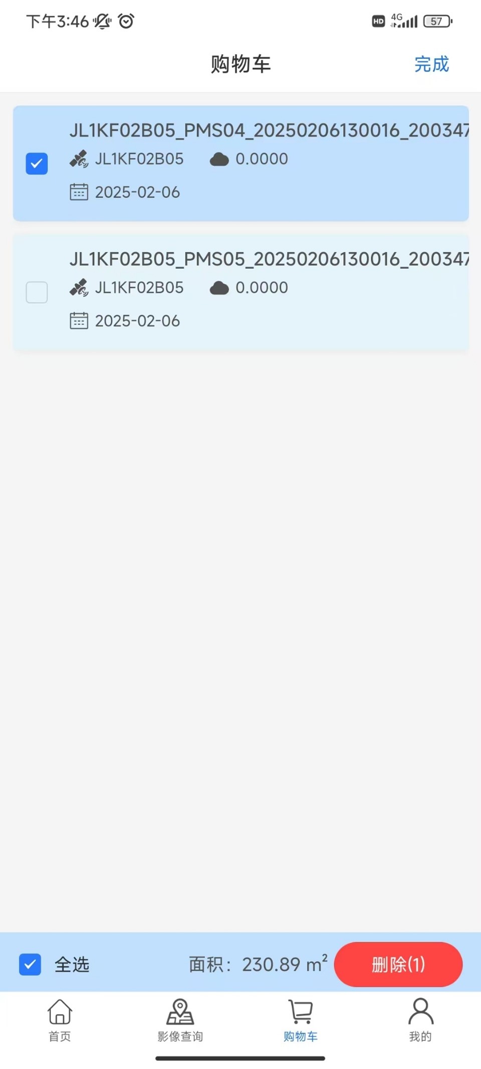
In Xingkan Vision, users can browse multi-scale, multi-source maps and image basemaps smoothly, take precise measurements and add annotations, and, through the core “Imagery Store” function, interactively draw an area of interest on the map. The system then matches conditions such as time and cloud cover and filters available historical or recent satellite imagery. After a target dataset is selected and an intended order is submitted, a professional team provides end-to-end support from data confirmation and commercial discussion through to customised delivery.
Overseas purchasing through Global Sight does not depend on this APP, and no public catalogue or test account is provided. For an overseas enquiry, please send your area of interest to the mailbox of the Global Mapping & Imagery Overseas Division, and we will check the archive on your behalf.